GEOG 455 Maps
This map shows the bodies of water throughout the state of Minnesota. It gives the reader an idea for ideal areas for fisheries.
This map shows the railroad routes in Chicago, Illinois.
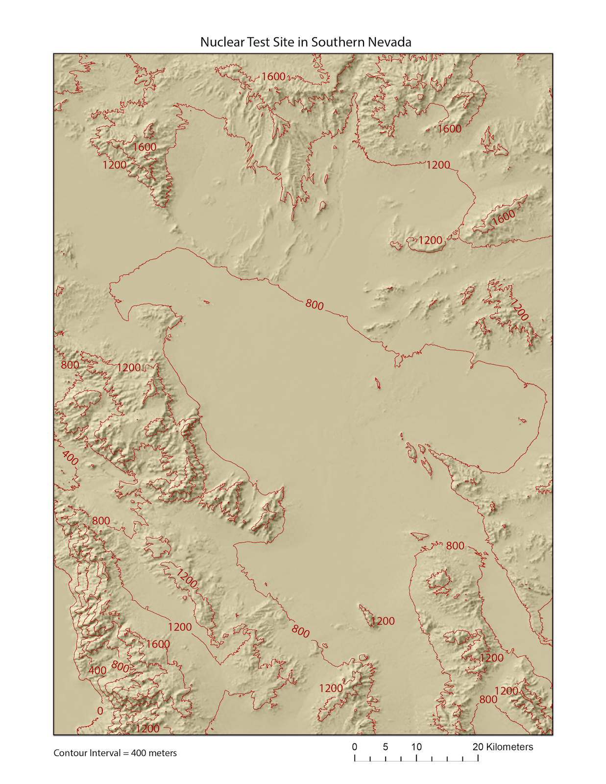
This maps shows a topographic map of a nuclear test site in Southern Nevada, not too far from Las Vegas.
This map shows the deer hunting zones in Minnesota, based on firearm options.
This map shows the ecological provinces of Minnesota.
The two images above show Mount Saint Helens; the top map shows the northeast side of the mountain and the image below it shows the southwestern side.
This map shows the glacial areas on the Earth.


